
How to Track Cruise Ships in Google Earth (Step-by-Step)
Google Earth has no live cruise layer. Learn the real KML/AIS network-link workflow in Google Earth Pro—plus a faster path to live cruise tracking.
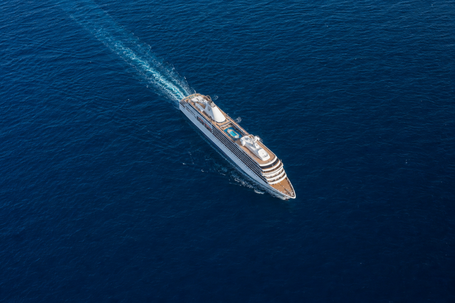
To track cruise ships in Google Earth, use Google Earth Pro on desktop and add a KML or KMZ network link that pulls AIS vessel positions from a third-party marine-traffic service, then set an automatic refresh interval. Google Earth has no built-in live cruise-ship layer, so any “live” view depends entirely on an external AIS data feed and refreshes only as fast as that feed updates. For genuine real-time tracking, a dedicated cruise tracker is simpler and more accurate.
Google Earth is a beautiful way to see a ship’s position draped over satellite terrain, ocean bathymetry, and coastline. But it was never designed as a vessel-tracking client, and understanding that distinction is the difference between a workflow that works and one that quietly shows you stale data. This guide walks through the realistic ways to track a cruise ship in Google Earth, sets honest expectations about accuracy, and points you to a faster path when you just want to know where a ship is right now. For the full picture, see our Cruise Ship Tracking Guide.
Can Google Earth Track Cruise Ships Live?
Not on its own. Google Earth ships with no native AIS (Automatic Identification System) layer and no live vessel data of any kind. When people talk about a “cruise ship tracker in Google Earth,” they mean one of three things:
- Importing live AIS data via a KML/KMZ network link. A network link tells Google Earth Pro to fetch a data file from a URL on a schedule. If that URL serves current vessel positions, the ship’s icon updates each refresh.
- Exporting a position from a marine-traffic service. Some AIS providers let you export a ship’s current or last-known location as a KML/KMZ file you open in Google Earth.
- Viewing a static last-known position. A one-time KML pin showing where a ship was when the file was generated — useful for a snapshot, not for live movement.
Only the first approach is genuinely “live,” and even then it is live only to the extent that the underlying AIS feed is live. Google Earth is the map; something else has to be the data.
Google Earth Pro vs. Google Earth Web and Mobile
The KML network-link workflow is a desktop capability, and this matters before you start.
| Feature | Google Earth Pro (desktop) | Google Earth (web) | Google Earth (mobile) |
|---|---|---|---|
| Open KML/KMZ files | Yes | Yes (import) | Limited |
| Add a KML network link with auto-refresh | Yes | No | No |
| Set a timed refresh interval | Yes | No | No |
| Best for live vessel tracking | Yes | No | No |
| Cost | Free | Free | Free |
If you want a self-updating ship position, you need Google Earth Pro, the free desktop application for Windows and macOS. The browser and mobile versions can open a KML file someone hands you, but they cannot maintain a live, timed network link. Everything below assumes Google Earth Pro.
How to Track a Cruise Ship in Google Earth (Step by Step)
Here is the core workflow to track a cruise ship in Google Earth using a network link. You will need a KML/KMZ URL from an AIS data source (covered in the next section).
Step 1: Install and open Google Earth Pro
Download Google Earth Pro from Google’s official site and install it. It is free — Google dropped the old $399/year fee back in 2015. If it prompts you for a license key, you can enter any email address along with the key GEPFREE. Open the application and let the globe load.
Step 2: Add a network link
In the top menu, choose Add → Network Link. A dialog opens with two fields that matter: a Name (label it something like “Cruise AIS feed”) and a Link field for the URL.
Step 3: Paste your KML/KMZ data URL
In the Link field, paste the URL that serves live vessel data as KML or KMZ. This is the step that determines whether you see anything at all — the URL must come from a service that actually publishes AIS positions in KML format. Do not invent one; use a real provider’s documented feed or export (see below).
Step 4: Set the refresh interval
Open the Refresh tab in the network-link dialog. Under Time-Based Refresh, change the mode from Never to Periodically, then set an interval — 60 to 120 seconds is reasonable. This tells Google Earth Pro to re-fetch the data on that cadence so the ship icon moves as new positions arrive.
Avoid setting an aggressive interval like every few seconds. It will not make the data fresher than the source feed, and many services rate-limit or block rapid polling.
Step 5: Fly to the ship and save your view
Click OK. The vessel data appears in your Places panel under Temporary Places (drag it to My Places to keep it between sessions). Double-click the ship to fly to it. From here you can tilt the view, drop the camera near sea level, and watch the icon step forward at each refresh.
Where the AIS Data Actually Comes From
Google Earth renders positions; it never generates them. The live data behind any Google Earth cruise-ship view originates from AIS — transponders that ships broadcast and that shore stations and satellites receive. That raw feed is aggregated by marine-traffic services, and a few well-known ones publish or export data you can point Google Earth at:
- MarineTraffic — a large AIS aggregator. Its downloadable data exports are CSV rather than KML, but it has historically published a KML network-link feed you can point Google Earth at; confirm the feed’s current availability in MarineTraffic’s own documentation before relying on it.
- VesselFinder — another established AIS service with mapping and paid data-export options.
Coverage and export formats change over time and vary by subscription level, so always follow the provider’s current documentation rather than a hardcoded link you found in a forum. If a “magic” always-on Google Earth cruise KMZ URL sounds too easy, it usually is — it is either undocumented, unofficial, or already dead.
Where a live, cruise-specific view is what you actually want, a purpose-built tracker beats a generic AIS-to-KML pipe: it filters to passenger ships, shows itineraries and port calls, and does not require you to babysit a refresh interval.
Setting Honest Expectations: AIS Lag and Coverage
Trusting a Google Earth ship position means understanding where AIS data can be delayed or missing. This is true of every tracker, not just Google Earth:
- Coastal vs. open-ocean coverage. Near shore, terrestrial AIS receivers update frequently. Far out at sea, positions rely on satellite AIS, which can refresh only every several minutes to tens of minutes.
- Refresh cadence is capped by the source. Your Google Earth network link cannot show data fresher than the feed provides. A 60-second refresh against a feed that updates every 10 minutes still shows 10-minute-old positions.
- Gaps and dropouts. Ships occasionally disappear from AIS due to receiver gaps, weather, or transponder issues. A missing icon usually means missing data, not a missing ship.
- Position is a report, not a live camera. Every point is the last transmitted location, interpolated at best.
If your ship is not showing up at all, that is almost always a data-source issue rather than a Google Earth bug — our companion article on why a cruise ship isn’t showing on the tracker breaks down the common causes.
When to Skip Google Earth Entirely
Google Earth is worth the setup when you want the experience — a cinematic, tilt-and-zoom view of a ship crossing a satellite ocean, or a teaching tool for showing a route over real terrain. It is genuinely fun for visualizing an Alaska inside-passage track or a transatlantic crossing.
It is the wrong tool when you simply need a fast, reliable answer to “where is this ship right now?” For that, a dedicated cruise tracker wins on every practical axis:
| Need | Google Earth Pro + KML | Dedicated cruise tracker |
|---|---|---|
| Live position, zero setup | No — requires a data URL and network link | Yes |
| Filtered to cruise ships | No — shows all vessel types | Yes |
| Itinerary and port context | No | Often included |
| Works on phone | No live link | Yes |
| 3D terrain eye-candy | Yes | Usually no |
If you want the simplest live path, start with our step-by-step how to track a cruise ship walkthrough, which skips the KML plumbing entirely.
Frequently Asked Questions
Does Google Earth have a built-in cruise ship layer?
No. Google Earth has no native live vessel or cruise-ship layer. Any tracking capability comes from importing external AIS data through a KML or KMZ file or network link.
Can I track a cruise ship in Google Earth on my phone?
Not with a live, self-updating feed. Timed KML network links are a Google Earth Pro desktop feature. Mobile Google Earth can open a static KML someone shares with you, but it will not auto-refresh.
Is Google Earth cruise tracking free?
Google Earth Pro is free. The limiting factor is the AIS data source — some marine-traffic providers gate exports or higher-frequency data behind paid tiers.
How accurate is a ship’s position in Google Earth?
Only as accurate and current as the AIS feed behind it. Near shore, positions can be close to real time; on the open ocean, satellite AIS may lag by several minutes or more.
The Bottom Line
You can track cruise ships in Google Earth, but Google Earth is the viewer, not the tracker. The realistic method is Google Earth Pro plus a KML/KMZ network link fed by a real AIS service like MarineTraffic or VesselFinder, with a sensible refresh interval and honest expectations about lag and coverage. It is a rewarding way to see a ship in its real-world setting — and an overbuilt way to simply find one.
When you just want a live position without the setup, use a purpose-built cruise tracker. Start at our Cruise Ship Tracking Guide hub for the tools, or jump straight to the how to track a cruise ship walkthrough for the fastest live-tracking path.