
How Accurate Is Cruise Ship Tracking? AIS, Lag & Data
Cruise ship trackers are GPS-accurate in position but lag in time. Here's how AIS, terrestrial vs. satellite coverage, and feed delays affect live data.
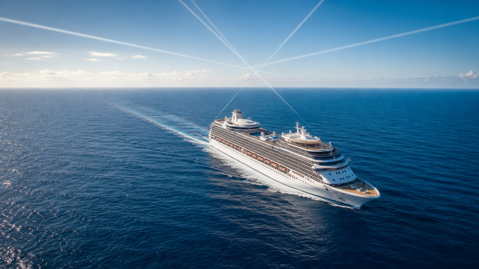
Cruise ship tracking is very accurate in position but only approximately accurate in time. The dot on a consumer tracker comes from AIS (Automatic Identification System), which broadcasts a GPS-derived position typically accurate to within about 10 meters. What varies is freshness: a position you see may be seconds old near shore but 10 to 60+ minutes old mid-ocean, because coverage depends on nearby land-based receivers or periodic satellite passes. So the ship’s location is trustworthy; how recently that location was measured is the real accuracy question.
When people ask “how accurate is cruise ship tracking,” they usually mean one of two very different things: Is the dot in the right place? and Is the dot showing me where the ship is right now? Those have different answers. The first is a question about GPS and AIS precision, and there the news is good. The second is a question about data latency and receiver coverage, and there the honest answer is “it depends where the ship is.” This guide separates the two so you know exactly when to trust the tracker and when to treat it with skepticism.
We’ve spent countless hours watching ships cross the Atlantic on a screen, and the single most common confusion we see is treating a stale position as a stopped or lost ship. It usually isn’t. To understand why, you need to know how the position gets from the ship’s bridge to your phone. For the broader picture of the whole pipeline, see How Cruise Ship Tracking Works; this article zooms in on the accuracy question specifically.
Key takeaways
- Position accuracy is GPS-grade. AIS positions are derived from onboard GNSS receivers, typically accurate to roughly 10 meters or better.
- Freshness is the variable. Latency ranges from near-instant (coastal, terrestrial AIS) to tens of minutes (open-ocean, satellite AIS).
- “Live” rarely means live. Free consumer trackers add their own refresh delays on top of AIS latency.
- A frozen or missing dot at sea is normal, not a malfunction — it usually means the ship is between coverage updates.
- Trust the dot near coastlines and in port; interpret it loosely far offshore.
What AIS Is and Why Cruise Ships Broadcast Position
Nearly every consumer cruise tracker is built on the same underlying data source: AIS, the Automatic Identification System. AIS is a maritime safety and collision-avoidance system in which vessels continuously broadcast their identity, position, course, and speed over VHF radio so that nearby ships and shore stations can “see” each other.
AIS carriage is not optional for large passenger vessels. Under the International Maritime Organization’s SOLAS Convention (Chapter V, Regulation 19), all passenger ships irrespective of size — and all other ships of 300 gross tonnage and upward on international voyages — are required to carry a functioning AIS transponder. Every modern cruise ship falls well inside that requirement, which is exactly why cruise ships are so reliably trackable in the first place — they are legally mandated to broadcast.
Cruise ships carry Class A transponders, the higher-powered, higher-priority class used by commercial and passenger vessels (as opposed to the lighter Class B units common on recreational boats). A Class A transponder transmits a dynamic position report on a schedule tied to how fast the vessel is moving. According to the technical standard governing AIS (ITU-R M.1371, the recommendation the US Coast Guard and other authorities reference), a vessel underway reports its position every 2 to 10 seconds, and roughly every 3 minutes when at anchor or moored. So at the source, on the ship itself, the position broadcast is genuinely frequent — updating every few seconds while the ship is moving.
That is a crucial point. The lag you experience on a consumer tracker is almost never because the ship is broadcasting slowly. The ship is broadcasting constantly. The lag comes from whether anything is listening — and how quickly what it hears reaches you.
How Accurate Is the Position Itself? (GPS-Grade)
Let’s answer the easy half first. The position inside an AIS message is not estimated or interpolated — it comes from a GNSS receiver (GPS or an equivalent global navigation satellite system) wired into the ship’s navigation suite. That is the same class of positioning technology that guides the ship’s own bridge equipment.
Per the US government’s official GPS information service, GPS.gov, GPS-enabled receivers are typically accurate to within a few meters of true position under open-sky conditions — the government’s current signal-in-space commitment is a user range error of 2 meters or better (95% confidence), and everyday smartphone-grade receivers land within roughly 5 meters under clear sky, with dedicated marine receivers often doing better. Cruise ships, sitting on open water with an unobstructed view of the entire sky, are close to the ideal case for GPS reception. There are no urban canyons, no tree cover, no tunnels at sea.
The practical takeaway: when a cruise ship’s position is reported, it is reported very precisely — realistically within about 10 meters. If the tracker shows the ship in a particular berth, channel, or shipping lane, you can trust that placement. Position accuracy is essentially a solved problem. The dot is in the right place. The only open question is whether it’s showing you the right time.
Why the Tracker You See Is Not Truly Real-Time
Here’s where expectations and reality diverge. AIS is a VHF radio system, and VHF is line-of-sight. A broadcast can only be received by something within radio horizon of the ship. That single physical fact drives almost everything about tracker latency.
There are two ways to catch an AIS signal, and they have very different accuracy-in-time profiles.
Terrestrial AIS: Fast but Short-Range
Terrestrial AIS uses land-based receiving stations along coastlines. When a ship is within radio horizon of one of these stations, its position reports are picked up almost instantly and can appear on a tracker within seconds. This is why tracking is at its best near ports, along busy coastlines, and in confined waters like channels and straits — the shore is dense with receivers.
But VHF radio horizon is limited. In practice, coastal AIS reception typically fades out somewhere around 20 to 40 nautical miles offshore, depending on antenna height, terrain, and atmospheric conditions. Beyond that band, there is simply no shore station in range to hear the ship. The ship keeps broadcasting every few seconds — but nothing on land is listening.
Satellite AIS: Global but Delayed
To cover the open ocean, providers use satellite AIS (S-AIS) — spacecraft in low Earth orbit that receive AIS transmissions from vessels far from any coast. This is what keeps a mid-Atlantic crossing visible on a map at all. It’s remarkable technology, but it introduces latency by its nature.
A satellite only receives a ship’s signal when it is passing overhead, and each satellite covers a given patch of ocean only intermittently as it orbits. The gap between usable passes — the revisit interval — can range from minutes to tens of minutes depending on the satellite constellation. Dense ocean traffic can also cause message collisions that a passing satellite may not cleanly decode on every pass. The result is that a mid-ocean position can easily be 10, 30, or even 60+ minutes old by the time it reaches you, even though it was GPS-accurate at the moment it was measured.
The Consumer Aggregator Adds Its Own Delay
On top of AIS physics, there’s a third layer: the tracker itself. Free consumer aggregators — the well-known public platforms like MarineTraffic or CruiseMapper are generic examples — collect AIS feeds and then refresh, cache, and re-serve that data on their own schedule. Real-time or high-frequency satellite AIS is expensive, so free tiers frequently show positions on a delay (often several minutes to much longer) as a matter of business model, not technical limitation. The word “live” on a free tracker is best read as “most recently received,” not “this instant.”
Position Accuracy vs. Position Freshness: The Table That Explains Everything
The entire confusion around tracker accuracy collapses once you separate these two dimensions. Position accuracy answers where; freshness answers when that “where” was true.
| Dimension | What it measures | Typical performance | Where it degrades |
|---|---|---|---|
| Position accuracy | How close the reported point is to the ship’s true location | ~10 m (GPS-grade), consistent everywhere | Rarely a problem — GPS at sea is near-ideal |
| Position freshness (latency) | How old the reported position is | Seconds (coastal) to 60+ min (open ocean) | Far offshore, between satellite passes, on free/delayed feeds |
| Update cadence at source | How often the ship broadcasts | Every 2–10 sec underway (Class A) | Not the bottleneck — the ship transmits constantly |
| Reception coverage | Whether a receiver is in range to hear it | Excellent within ~20–40 nm of shore | Mid-ocean relies on intermittent satellites |
Read that table and the “accuracy” question answers itself. The location is reliable; the timestamp is not. A tracker that shows a ship 40 miles from where you expect it isn’t wrong about GPS — it’s showing you a 45-minute-old position from the last satellite pass, and the ship has simply steamed onward since.
Why a Ship Can Look Frozen, Off-Course, or Missing Mid-Ocean
Once you understand latency and coverage, the alarming-looking tracker behaviors become mundane. Here’s how to read each one.
- The dot is frozen. The ship almost certainly hasn’t stopped. It has sailed out of terrestrial range and you’re seeing its last received position while waiting for the next satellite update. Cross-checking a tracker mid-crossing, we routinely see a position “stick” for 20–40 minutes and then jump forward to catch up.
- The dot jumps in a straight line. When a fresh satellite fix finally lands, the map snaps the ship from its old position to its new one. That long leap isn’t teleportation or an error; it’s the accumulated distance traveled during the coverage gap, drawn as one straight segment.
- The dot looks off-course. A stale position plus a since-changed heading can make a ship appear to be pointing the “wrong” way. The next update usually resolves the apparent detour.
- The ship vanishes entirely. Some free trackers drop a vessel from the map when they haven’t received a position within a set window. Disappearing mid-ocean is the expected behavior of a delayed feed, not evidence of a problem aboard. (We break this specific case down further in why your cruise ship isn’t showing on the tracker.)
None of these are malfunctions. They are the visible fingerprints of a system that measures position precisely but transmits it opportunistically.
When to Trust the Dot — Practical Guidance
So how should you actually use a consumer cruise tracker? Match your confidence to the ship’s location.
- In port or near the coast (within ~20–40 nm): Trust it almost completely. Terrestrial AIS is dense and fast here, and positions are usually seconds to a couple of minutes old. This is the right context for watching an arrival, a departure, or a pilot boarding.
- Approaching or leaving port: Highly reliable. This is precisely when coverage is best and when most people actually want to watch — greeting an arriving ship, timing a port pickup, or confirming an on-time departure.
- Mid-ocean: Trust the placement but not the timestamp. Assume the position could be tens of minutes old and mentally project the ship forward along its course. Don’t read a frozen dot as a stopped ship.
- When comparing trackers: If two apps disagree, the difference is usually latency, not accuracy — one has a fresher AIS feed than the other. Our cruise ship tracker app rankings and our CruiseMapper vs. MarineTraffic comparison walk through how the major consumer trackers differ on exactly this dimension.
A useful habit: check the timestamp most trackers show alongside the position (often labeled “last received” or “received X minutes ago”). That single number tells you how much to trust the freshness of what you’re looking at. A position received two minutes ago is gospel; one received 50 minutes ago is a starting point for an educated guess.
How Accurate Is Cruise Ship Tracking, Really? The Bottom Line
Cruise ship tracking is highly accurate in space and variably accurate in time. The ship broadcasts a GPS-derived position — good to roughly 10 meters — every few seconds while underway, exactly as SOLAS and the AIS technical standards require. Where that data becomes “inaccurate” is purely a matter of freshness: land-based receivers deliver it in near real time within a few dozen nautical miles of shore, satellites deliver it with minutes-to-tens-of-minutes of lag out on the open ocean, and free aggregators layer on their own refresh delays.
Understand that split and you’ll never be fooled by a frozen dot again. Near the coast, believe the tracker completely. Mid-ocean, believe the location but treat the time as an estimate and project the ship forward. That’s the difference between misreading the map and reading it like someone who knows what’s happening under the hood.
If you’re setting up tracking for an upcoming sailing, start with our step-by-step guide to tracking a cruise ship, confirm your ship is even trackable with can you track a cruise ship, and return to the tracking hub for the full toolkit. Once you know that the dot is GPS-precise but time-delayed, every tracker you use gets more honest — and a lot more useful.