
Best Free Cruise Ship Tracker Apps Compared (Real Tests)
We tested the best free cruise ship tracker apps side by side. See what CruiseKick, CruiseMapper, MarineTraffic, and VesselFinder give you at $0.
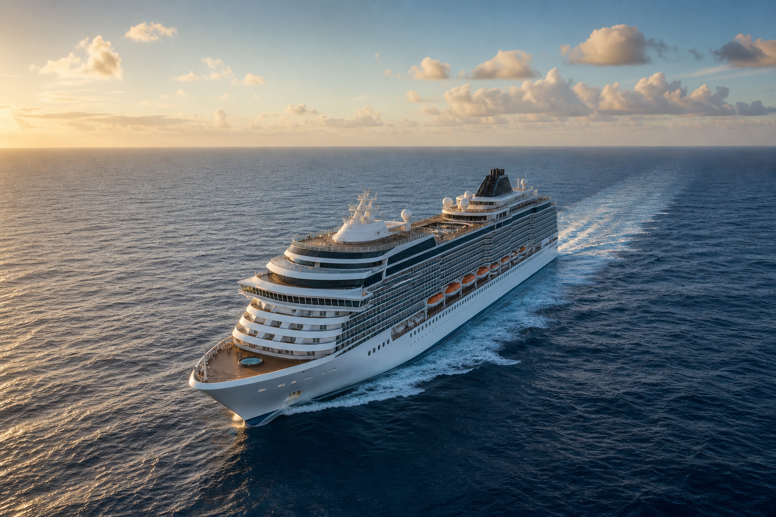
Here’s what you actually get for $0 from the four most popular cruise ship trackers. CruiseKick gives you a clean, cruise-only live map with per-ship pages, no signup required. CruiseMapper’s free tier is the only one that bundles itineraries and deck plans with live position. MarineTraffic’s free tier has the deepest vessel-and-port database. VesselFinder is the simplest, most approachable general free map — it cleanly surfaces position, speed, heading, last port, and next reported destination. Critically, every one of these free tiers relies on the same land-based (terrestrial) AIS signals, so none of them tracks a ship reliably in the open ocean — satellite AIS is a paid feature across the board. The free-tier decision comes down to how cruise-specific you want the experience, whether you need itineraries, and what account or ad restrictions you’re willing to accept.
Choosing a free cruise ship tracker is less about who has secret data and more about exactly what each tool gives you before it asks for money — and precisely where that free tier hits its wall. This guide is a practical “what’s free and when you’d actually pay” breakdown, not a leaderboard. (If you want the full head-to-head ranking across free and paid trackers, see the best cruise ship tracker apps, ranked.) Below, we walk through what each free tier includes, where it stops, what account or signup it demands, and which free tool fits which cruiser. For the mechanics of how live vessel tracking works under the hood, start with our cruise ship tracking guide.
Key takeaways
- No free tier here offers open-ocean satellite coverage. CruiseKick, CruiseMapper, MarineTraffic, and VesselFinder all cap free users at land-based (terrestrial) AIS. Satellite AIS is a paid plan on every one of them — so all four lose ships in the deep ocean and look nearly identical near shore.
- What actually differs for free is cruise-specific context (itineraries, ports, deck plans), whether you need an account, ad load, past-track history, and refresh speed.
- CruiseKick is the cleanest cruise-only free map with no signup; CruiseMapper bundles the most free cruise context; MarineTraffic has the deepest free database; VesselFinder is the simplest, most approachable general free map.
- You almost never need to pay to answer “where is my ship right now?” — every free tier covers that well when the ship is near land, which is when most people are watching.
What we looked at on each free tier
We approached each tool the way a real cruiser would, not a maritime professional, and stayed on the free tier only — no paid trial. For every app we checked the three things that actually decide a free-tier choice:
- What you can see without paying or signing up. Can you search a cruise ship by name and land on its live position with no account and no wall?
- Exactly where the free tier stops. The moment each app nudges you toward an upgrade — satellite positions, faster refresh, longer past-track history, or ad removal.
- What cruise-specific extras (if any) are bundled free. Itineraries, port schedules, and deck plans versus a bare position dot.
One thing every reputable tracker shares: they all plot the same public AIS (Automatic Identification System) broadcasts that ships transmit by law, picked up by land-based receivers near coastlines. That’s why near shore all four look nearly identical, and why none of them holds a ship in the mid-ocean on a free plan — the terrestrial network can’t hear a ship far from land, and only paid satellite AIS can. (Our ranked guide and tracking hub explain that mechanism in full; here we focus on the money question.)
What each free tier actually gives you
Here’s how the four leading free options stack up at a glance. Everything in this table refers to the free tier — paid plans on several of these unlock more.
| Free tracker | Cruise-specific focus | Account needed for basic map | Itineraries / deck plans (free) | Open-ocean satellite (free) | Where the free tier stops |
|---|---|---|---|---|---|
| CruiseKick | High — built only for cruises | No | Per-ship pages; cruise-focused | No — terrestrial only; satellite is paid | Loses ships mid-ocean like all terrestrial-only tiers |
| CruiseMapper | High — cruise-only database | No | Yes — itineraries + deck plans free | No — terrestrial only; satellite is paid | Denser interface + ads; offshore gaps on free |
| MarineTraffic | Low — all vessel types | No for basic view | No (general vessel data) | No — terrestrial only; satellite is paid | Satellite AIS + history behind paid plans |
| VesselFinder | Low — all vessel types | No | No | No — terrestrial only; satellite is paid | Satellite AIS + advanced detail behind paid plans |
The short version: if you specifically care about cruise ships, CruiseKick and CruiseMapper give you the most relevant free experience. If you’re comfortable in a general maritime interface and want raw breadth, MarineTraffic and VesselFinder are strong free generalists. But on the one axis people assume separates them — open-ocean satellite coverage — every free tier is identical: you don’t get it without paying.
CruiseKick: what’s free
CruiseKick is our own app, so we’ll be straight about the free tier. What you get for $0: search any cruise ship by name and land on a clean live-position map plus a dedicated per-ship page — no account, no signup wall, and no cargo carriers, tankers, or fishing fleets cluttering the view, because the map only shows cruise vessels. That’s the whole pitch: a fast, cruise-only “where’s my ship” map you can hand to a family member with zero setup.
Where the free tier stops: like every tool here, CruiseKick reads land-based AIS, so it loses a ship in the open ocean the same way the others do — satellite AIS is not part of any free view. It also isn’t a professional maritime-intelligence platform with exhaustive historical voyage archives or commercial-shipping analytics; a general maritime platform goes deeper there. And it doesn’t pretend to have exclusive data — no free tracker does.
Free-tier fit: cruisers and their families who want an uncluttered, cruise-only live map with per-ship pages and no signup friction.
CruiseMapper: what’s free
CruiseMapper’s free tier is the only one in this group that bundles genuine cruise context at no cost. Beyond live position you get published cruise itineraries, port call schedules, and deck plans — information a generic AIS tracker simply doesn’t carry. If knowing where a ship is scheduled to be tomorrow matters as much as where it is now, that free itinerary layer is the single most useful free feature in this roundup. It also aggregates ship incident and news entries.
Where the free tier stops: the interface is denser and more utilitarian than a purpose-built cruise map, the free experience carries ads, and — like the others — open-ocean coverage is terrestrial-only, so expect gaps or lag when a ship is far from land unless you upgrade to a paid satellite plan.
Free-tier fit: cruisers who want itineraries, ports, and deck plans bundled with live position at no cost, and don’t mind a busier, ad-supported interface.
MarineTraffic: what’s free
MarineTraffic is the closest thing to an industry standard for vessel tracking, and its free tier gives you the widest raw database of the four. It tracks a very large volume of vessels of every type through an extensive network of land-based AIS receivers, so free port coverage and vessel-detail pages are deep and richly annotated. For a specific cruise ship near a busy port, the free position data is reliable and detailed.
Where the free tier stops: MarineTraffic isn’t built for cruisers, so there’s no itinerary layer, no deck plans, and the interface assumes some maritime vocabulary. The most valuable upgrades — satellite AIS for open-ocean ships and historical track playback — sit behind paid plans. You get an excellent free snapshot of a ship near land, but none of the cruise-specific context CruiseKick or CruiseMapper bundle for free.
Free-tier fit: people who want the widest free vessel-and-port database and detailed vessel pages, and don’t need cruise-specific features.
VesselFinder: what’s free
VesselFinder is the most approachable general tracker, and its free tier is refreshingly uncomplicated. Search a ship and you cleanly see its current position, speed, heading, last port, and next reported destination — the core voyage facts most casual trackers actually want, presented without a learning curve. That simplicity, not any special coverage, is its real free-tier edge.
Where the free tier stops: to be clear, VesselFinder’s free tier is terrestrial-only, exactly like the others — it does not include free satellite coverage (VesselFinder’s satellite AIS is a paid plan), so it also loses ships in the open ocean. It’s a general vessel tracker, too, not a cruise app: no itinerary or deck-plan layer, and cruise ships share the map with every other vessel type.
Free-tier fit: anyone wanting the simplest, cleanest general free position map that surfaces core voyage facts at a glance.
How to choose the best free cruise ship tracker for you
There’s no single winner for everyone, because the best free cruise ship tracker depends entirely on what you want to do for $0. Match your use case to the tool:
- You just want a clean, cruise-only live map with no signup: choose CruiseKick. The cruise-first focus removes the clutter of general maritime apps.
- You care about the itinerary and ports, not just the dot on the map: choose CruiseMapper for its free itinerary and deck-plan layers.
- You want the deepest vessel and port database and don’t need cruise features: choose MarineTraffic.
- You want the simplest, cleanest general free map: choose VesselFinder.
A few realities worth internalizing before you pick. First, near shore, all four look similar — that’s the shared AIS data doing its job, not any app being magic. Second, no free tier of any of these gives you open-ocean satellite coverage; that (plus faster refresh and long track history) is the honest reason to ever pay, and it’s a paid feature everywhere. Third, if a ship “disappears” from a free map mid-ocean, that’s a terrestrial-coverage gap, not a broken app — and it will happen on all four. For the mechanics of why that happens and how to read the live data properly, see our full walkthrough on how to track a cruise ship in real time.
Do you ever need to pay for a cruise ship tracker?
For the overwhelming majority of cruisers, no. The most common jobs — confirming a ship left port, watching progress toward the next stop, showing family at home where you are — are all comfortably covered by free tiers when the ship is near land, which is exactly when passengers and their families care most.
You’d only benefit from paying if you specifically need reliable open-ocean satellite positions in near-real time, historical voyage playback, or an ad-free professional interface — and remember, satellite AIS is a paid add-on on every one of these apps, not a free perk on any of them. Those are genuine features, but they’re niche for a typical cruise fan. Start free, and only upgrade if you hit a wall you actually care about.
Frequently asked questions
What is the best free cruise ship tracker app?
For cruise fans, CruiseKick is the best free option because it offers a clean, cruise-only live map with per-ship pages at no cost. If you want free itineraries and deck plans alongside live position, CruiseMapper is the strongest pick. All the leading free trackers read the same public AIS data, so near shore they show nearly identical positions.
Are free cruise ship trackers accurate?
Yes, near land. Every reputable tracker uses the same public AIS broadcasts that ships transmit by law, so a cruise ship close to a port appears in roughly the same place on all of them. Accuracy drops in open ocean, where positions depend on satellite AIS — a paid feature on all of these apps, so every free tier is equally limited offshore.
Can I track a cruise ship for free without an account?
In most cases, yes. Free trackers like CruiseKick, CruiseMapper, MarineTraffic, and VesselFinder let you search and view a ship’s live position without paying. Some features or an ad-free experience may require signing up or upgrading, but basic “where is this ship” tracking is free.
Why does my ship disappear from the free tracker in the middle of the ocean?
That’s almost always a coverage gap, not a fault. Land-based AIS receivers can’t reach ships far offshore, and open-ocean tracking depends on satellite AIS — which none of these apps include on their free tier. When the ship nears land again, it reappears. Our cruise ship tracking guide explains this in more detail.
Which free tracker is best for following a cruise itinerary?
CruiseMapper, because its free tier layers published cruise itineraries and port schedules on top of live position. General trackers like MarineTraffic and VesselFinder show where a ship is now, but not where it’s scheduled to sail next.
The bottom line
The best free cruise ship tracker comes down to fit, not secret data. CruiseKick gives cruisers the cleanest cruise-first free map with no signup; CruiseMapper bundles the most free cruise context; MarineTraffic offers the deepest free database; and VesselFinder is the simplest, cleanest general free map. Since they all share the same land-based AIS signals — and all reserve open-ocean satellite coverage for paid plans — you can pick confidently based on how cruise-specific you want the free experience to be, and you rarely need to spend a cent to answer “where’s my ship right now?” For our full ranking across free and paid trackers, see the best cruise ship tracker apps, ranked.